
Lacey Township Neighbors: What Block Sources Show
A Lacey Township neighbors search should begin with public geography and property identifiers. A parcel map may show an adjacent lot, road, easement, wetland, or municipal boundary. The tax list can confirm the block, lot, qualifier, property class, and location. Recorded documents can supply a dated instrument trail, while planning records explain applications or site plans. None of these sources is a complete list of who lives near an address.
| Source | What It Shows About a Block | Access |
|---|---|---|
| Ocean GIS and NJGIN | Parcels, adjacent lots, roads, overlays, and footprints | Public map or download; layer dates matter |
| Ocean County tax-list search | Block, lot, qualifier, property class, and location | Public web form |
| Ocean Clerk SearchNG | Recorded instruments, easements, subdivisions, and dated parties | Public index with online coverage from 1977 |
| Lacey zoning and planning records | Applications, variances, site plans, and board actions | Department, Archive Center, and meeting records |
| Community organizations | Public service-area or contact information | Association pages; no township master directory |
Use roles exactly as the source supplies them. A recorded grantee, permit applicant, or agenda contact is not automatically an occupant or one of the current neighbors of that address.
Map a Lacey Township Neighbors Block With Parcels
Ocean County GIS is the clearest first map for the immediate Lacey Township block. Start with the address, confirm the municipality as Lacey, and turn on parcel or cadastral lines, street labels, and aerial imagery. Add zoning, flood, wetland, easement, rights-of-way, tax-map, subdivision, or building-footprint layers only when they answer a specific property question. The county lists 2025 parcel and MOD-IV data, while building-footprint data has a different vintage.
- Normalize the street name and locate the address in the county map or NJGIN Property Explorer.
- Confirm Lacey Township with the municipal and parcel fields, rather than relying on the postal city alone.
- Record the starting block, lot, qualifier, and parcel geometry.
- Inspect surrounding parcels only to understand lots, roads, boundaries, and overlays.
- Use an instrument index or planning file for a dated question, and preserve the document type and date.
For a full named-street walkthrough, use the Lacey Township street directory. The immediate-block method remains centered on the public geography around the address.
Lacey Township adds a postal-geography check to this process. Forked River and Lanoka Harbor are communities within the same municipality, and a postal label is not the legal municipal field. A Pheasant Run polling-place address is shown with 08732 on the township page, but the research did not establish that ZIP as township-wide coverage. For a block question, retain the source address as written, then confirm Lacey Township through the tax or GIS municipality field before comparing nearby parcels.
Lacey Township Neighbors and Ocean GIS Layers
The county's GIS resources list parcel and MOD-IV data, municipal boundaries, cadastral lines, easements and rights-of-way, aerial imagery, tax maps, zoning, FEMA flood data, parks, preserved land, subdivisions, wetlands, and streams. These layers can show why two nearby addresses sit on different parcels or why an apparent shortcut is a mapped right-of-way. They do not settle title and should not be read as a survey.
Label the layer and date in any research note. A boundary on an image may be a parcel line, water edge, municipal limit, or map artifact. Compare a map lead with the applicable official record before assuming that an easement exists or that an adjacent lot shares access.
The GIS layer list is especially useful in a wide township with waterways, wetlands, preserved land, and developed neighborhoods. A flood, stream, or rights-of-way overlay can explain a visible break between parcels without saying anything about the people nearby. Lacey Township's historical boundary changes also matter for older material: the township was formed from Dover and Union in 1871, and later changes along Oyster Creek and the island can place historical records under a different jurisdictional label.
Lacey Township Neighbors, Block, Lot, and Qualifier
The Ocean County Tax List Search accepts Municipality, Block, Lot, Qualifier, Property Class, and Property Location. Select Lacey first, then use the address or legal identifiers that the map returns. The qualifier matters for a condominium, unit, or other multiple-interest parcel. This is a stable bridge between map geometry and a later recorded-document search.
The tax list is parcel-oriented. It should not be transformed into a list of Lacey Township neighbors or used to infer who occupies a property. Assessment information can lag a recent deed, and a mailing label can differ from the legal municipality. Treat the result as an address and parcel lead, then record the retrieval date.
NJGIN Property Explorer offers a second parcel route through address, county, municipality, block, and lot fields. Its documented attributes include property location, street address, city/state, ZIP, land and improvement values, acreage, use or building class, and deed book, page, and date where present. State hosted parcel products redact owner fields under Daniel's Law when required. A redaction is a legal limit, not an invitation to join records in search of the missing information.
Lacey Township Neighbors, Easements, and Recorded Instruments
For a shared driveway, access question, or subdivision history, search the legal town plus block and lot in the Ocean County Clerk's SearchNG. The index supports party, legal-description, date, document type, book/page, and linked-document work. An easement, covenant, mortgage, release, or deed has a different legal role, so preserve the instrument type rather than calling every hit a deed.
A recorded document can explain title or access at a particular time. It does not prove that every nearby property uses an easement, that a private disagreement exists, or that a named party is a present neighbor. The free online index begins in 1977; older matters may need a clerk, microfilm, library, or Archives follow-up.
Lacey Township Neighbors in Planning and Permit Records
Lacey Community Development records add a public development layer to a block question. The Zoning Department handles land-use certification, zoning inquiries, forms, maps, and board materials. Building and inspection sources cover permits, subcodes, appointments, and inspection status. Search an address, project name, block and lot, or board date, then separate a proposal, an approval, an expired filing, and a constructed condition.
The township Archive Center can be searched by keyword, department, period, and date, including Planning, Building, Zoning, Clerk, and Code Enforcement categories. A permit or agenda is evidence of a particular application or project. It is not a profile of the household associated with the address, and it should not be used to identify private neighbors.
If a block question concerns a building project, the documented fallback path is the department, its SDL permit and inspection route, or the written inspection-request procedure. The form calls for a permit number, address, requested subcode, inspection type, preferred dates, and contact details, and requests written notice at least 24 hours in advance. Those requirements show why a public discussion should stay with a permit or project record instead of speculating about a household.
Community Contacts Around Lacey Township Neighborhoods
Lacey Township does not publish an authoritative directory of every association, HOA, civic club, or neighborhood boundary. The public sources below are community contacts, not resident databases. They can help a person ask a service-area or meeting question through a published route, without attempting to identify members or compile household information.
| Organization or Lead | Public Context | Appropriate Use |
|---|---|---|
| Sunrise Beach Club | POA serving Sunrise Beach, Sanctuary, and Baywoods in the Forked River area | Use public service-area and contact information only |
| Pheasant Run HOA | Public community page for an active-adult community in Forked River | Check current notices or public contact details |
| Garden Club of Lacey Township | Appears in the state charitable-organization listing | Use as registration context, not a membership roster |
| Lacey Historical Society | Township directory identifies the Old Schoolhouse Museum context | Verify collection or visit details before relying on them |
Sunrise Beach Club's public page identifies its service areas and published community route.
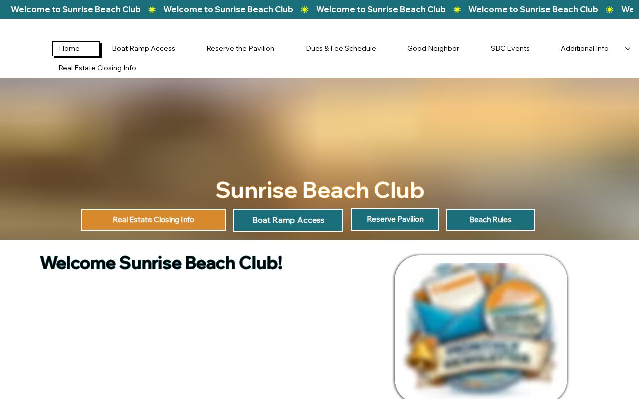
The useful detail is the public community connection, not a list of people who may live inside a named area.
Official Sources and Commercial Neighbor Tools
Official Lacey Township and Ocean County sources state their fields, dates, access limits, and responsible office. A parcel map tells a user which geometry and layer is shown; a deed index identifies the recorded instrument; a voter request has statutory controls. Commercial neighbor-finding products may combine records from different dates and locations, often without making their source or update cycle clear. They are not an official confirmation.
| Source Category | Strength | Limit |
|---|---|---|
| Official parcel and map tools | Named fields, map layers, and agency source | Not title proof; protected fields may be redacted |
| Recorded-document index | Dated instrument and linked-record trail | Not proof of current occupancy |
| Commercial compiled tools | May offer broad discovery leads | Dates, identity matching, and source accuracy can be unclear |
A result that matters should be confirmed through the office that maintains it. The safe question is what a dated public source says about a parcel, not whether a product can assemble a private block roster.
Privacy Limits for Lacey Township Neighbor Research
A block map does not reveal household relationships, renter status, private contact information, or a person's movements. Daniel's Law can redact covered public servants and household members from parcel products. The New Jersey Address Confidentiality Program provides a substitute address for eligible participants. Individual voter verification is not a street-wide public roll, and a broader Ocean County voter file has formal OPRA and criteria procedures.
Lacey's voter-information page provides public polling-place and district orientation, not a resident roster.
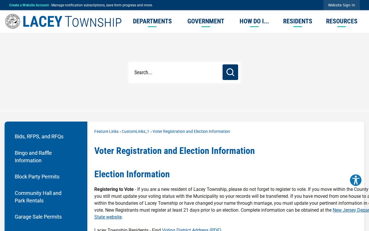
Polling locations create a public geographic vocabulary across Forked River, Lanoka Harbor, and named facilities, but they do not define neighborhood boundaries or identify attendees.
Ocean County Elections information-request guidance explains the controlled route for a lawful voter-list request.
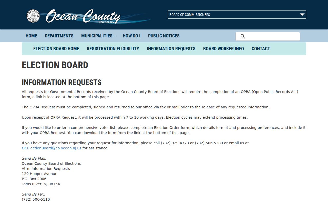
Use the custodian's current form, requested scope, fee, and privacy rules rather than republishing sensitive fields or building a block-level profile.
New Jersey's registered-voter statute describes a controlled list with fields that can include name, address, date of birth, party affiliation, and voting history, subject to protected-address exclusions and other limits. Ocean County's route requires a signed OPRA request and, for a comprehensive list, an Election Order criteria form that can specify municipality, party, and election history. That process is for a defined official request, not a casual method for identifying people around a Lacey Township address.
Lawful use. Lacey Township neighbors research is for public geography, civic context, property curiosity, and respectful community questions. Do not use it to surveil, track, harass, intimidate, or harm another person.