
Walking a Lacey Township Street
The street directory sequence is address to parcel, owner lead, deed chain, controlled voter-record route, and historical source. It begins with the standardized street address and the municipality field, not a name. A tax or map result supplies the block, lot, and qualifier. Those identifiers can be matched to the assessor’s ownership-update work and to Ocean County Clerk instruments. The approach reduces false matches where the same surname appears in another Ocean County community.
Ownership, voting status, and occupancy are different claims. A named party on a deed records a transaction. A tax result is assessment context. New Jersey’s individual voter check is a personal registration tool, not a street roster. Dated newspapers, phonebooks, and library directories are the historical stage of the workflow, provided the listing is labeled with its year and source type.
- Normalize the address, select Lacey Township, and search the county tax list by property location or tax-map identifiers.
- Save the parcel’s block, lot, qualifier, and source date, then check its geometry and surrounding street context in GIS.
- Use the legal description and party names in SearchNG to trace deeds and linked instruments, working backward through dates.
- For a voter-roll question, use the individual check only for its official personal-status purpose; a broader Ocean County list requires a signed OPRA and criteria request.
- For a past household, request a dated newspaper, phonebook, directory, or map lead from the library or historical center.
Note: A street result becomes stronger when the address, legal identifier, date, and record role agree across two independent official sources.
Lacey Township Street Search Fields
Ocean County’s public tax-list search supplies the field contract for a Lacey street directory search. Begin with Municipality set to Lacey Township. Then use Property Location for the address, or add Block, Lot, and Qualifier when the address brings back more than one possible parcel. Property Class describes assessment classification. It is not a statement about a person or household.
| Field | Type | Street-directory use |
|---|---|---|
| Municipality | Selection | Choose Lacey Township before entering an address |
| Property Location | Text | Search the house number and street, testing suffix variants |
| Block | Text | Tax identifier that bridges to GIS and recorded instruments |
| Lot | Text | Use with block for the specific assessment parcel |
| Qualifier | Text | Captures a unit or separate interest when present |
| Property Class | Selection | Filters the assessment record without identifying occupants |
Try Road and Rd, Avenue and Ave, route labels, directions, and the post-office community spelling when a result does not appear. Save the source spelling, but let the municipality and legal identifiers decide jurisdiction. This guards against treating Forked River or Lanoka Harbor as separate municipal search choices.
Lacey Township Tax Assessor describes the local tax-map and ownership-maintenance role.
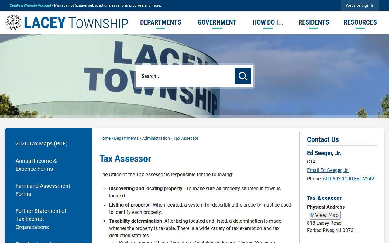
The assessor is the local route for tax-map questions, while the county tools provide the public parcel-search starting point.
Lacey Township Parcel Map Layers
Ocean County GIS and NJGIN Property Explorer turn a street address into spatial context. Search with the address, county, municipality, or block and lot. The available parcel attributes can include property location, street address, city and state, ZIP code, assessment values, building and land descriptions, acreage, use or class, and a deed book, page, or date lead. The map is especially useful for distinguishing adjacent parcels with similar addresses in a Lacey Township street directory search.
Use layers deliberately. The county lists parcels, cadastral lines, easements and rights-of-way, imagery, tax maps, zoning, FEMA flood areas, wetlands, streams, parks, subdivisions, and site plans. The county page lists 2025 parcel and MOD-IV material and 2015 building footprints. Those vintages differ, and the map is not a certified survey or title image. State parcel products can redact owner names under Daniel’s Law.
| GIS or parcel field | Type | How to use it by street |
|---|---|---|
| ST_ADDRESS / address | Search text | Normalize the house number, road suffix, and direction |
| County and municipality | Filter | Use Ocean and Lacey Township to confirm jurisdiction |
| Block, lot, PIN, or PAMS | Identifier | Carry the tax-map reference into recorded-document research |
| PROP_LOC and ZIP_CODE | Returned attributes | Compare physical and postal context without treating ZIP as jurisdiction |
| Deed book, page, and date | Returned lead | Open SearchNG and inspect the recorded instrument itself |
| Layer selection | Map control | Record whether the view uses parcels, zoning, flood, imagery, or tax map data |
For a reproducible street lookup, note the selected layer and its listed vintage beside the parcel identifiers. That preserves the difference between a 2025 parcel or MOD-IV view, a 2015 footprint, a tax-map boundary, and a later recorded deed.
Ocean County GIS Interactive Maps is the county entry point for the parcel, map-layer, and downloadable geodatabase materials.
Ocean Deeds Along Lacey Streets
SearchNG is the recorded-instrument layer of the Lacey Township street directory. Its online official-record coverage begins April 1, 1977. Run the legal town, lot, and block together with party-name variants when appropriate. The detail trail can include recording date, document group and type, book and page or clerk file number, consideration, and linked documents. A deed can support a transfer trail; an easement, mortgage, discharge, lien, or release carries another role.
The help materials describe automatic beginning wildcards for party names, a second-party field, unlimited additional names, all-name or any-name logic, date ranges, map numbers, and book or file searching. Test a narrower date range before concluding that a common name belongs on the street. Earlier history may require clerk books, microfilm, or archive assistance because the online system does not begin before 1977.
SearchNG help documents the official-name, legal, date, map, book, and file search modes.
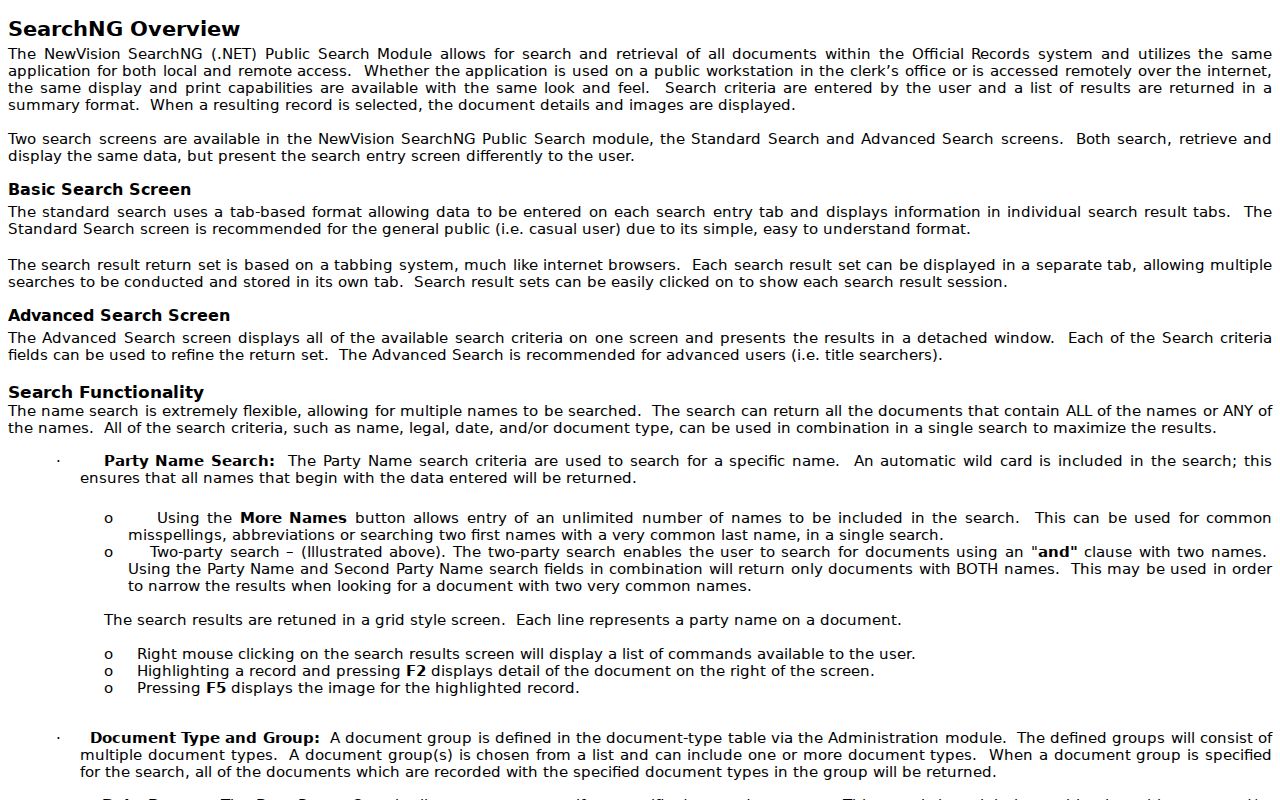
The help screen shows why a legal-description search can be more precise than a single party-name result for a named street.
- Parcel
- An assessment unit located through the tax map, often identified by block, lot, and qualifier.
- Situs address
- The physical property address used to locate the parcel; it can differ in format from a mailing label.
- Plat
- A recorded map or plan that can show lots, streets, or subdivision layout.
- Criss-cross directory
- A reverse address directory, if a library collection includes one, that starts with an address rather than a name.
Postal Labels on Lacey Streets
Lacey Township’s main postal labels are Forked River 08731 and Lanoka Harbor 08734. They are useful when normalizing an address, but a ZIP or post-office city does not establish the legal municipality. Bamber Lakes and other local community names can also appear in research notes. Retain the county and municipality fields from the tax or GIS result even when a different postal convention appears.
A Pheasant Run polling-place address uses 08732 on the township page, but research did not independently confirm that ZIP as a township-wide delivery area. Nearby 08758 is associated with Waretown and should not be treated as a normal Lacey ZIP. For an unusual result, compare USPS formatting with the tax/GIS municipality and the parcel geometry rather than inferring a boundary from the mailing label.
Note: Postal geography narrows an address; the Lacey Township municipal field is the jurisdiction check for a street record.
Lacey Township Street Permit Records
Building, inspection, and zoning records add an address-based administrative trail to a street directory search. The Building Department lists permits for work such as additions, garages, demolitions, decks, pools, roofing, siding, alarms, and generators. The SDL portal is described as providing permit status, inspection appointments, results, and live property permit information. A permit is a project record. It does not prove who lives at the property.
Zoning records add land-use certifications, inquiries, forms, maps, and board activity. Search the department, Archive Center, or meeting material by address, block and lot, applicant, or project name. Keep an application, recommendation, approval, and finished condition separate. An agenda item is a lead to the actual record, not proof that a project was completed.
Lacey Township Zoning Department provides the land-use and map route for an address inquiry.
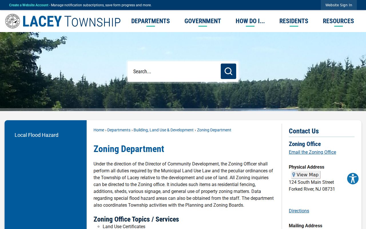
The zoning route helps explain an address-linked application or map record without converting it into a household listing.
Lacey Township Street Archive Search
The township Archive Center is a useful address and place-name research layer. It can filter records by department, keyword, category, time period, and date range. Relevant categories include Building, Clerk, Code Enforcement, Finance, Municipal Court, Planning, Tax Assessor and Collector, and Zoning. Pair the exact street with terms such as permit, variance, flood, Bamber, Murray Grove, or Oyster Creek when the date supports the search.
Open the underlying minutes, agenda, resolution, or department document after a search hit. A title alone does not establish residence, ownership, or a final decision. The Archive Center is most helpful when the street result is linked to a record date, an address, and a specific governmental action.
Lacey Township Archive Center provides the department, keyword, period, and date filters for this local document trail.
Older Lacey Township Street Geography
Older street research needs a jurisdiction check. Lacey Township formed in 1871 from Dover and Union townships. The 1876 Oyster Creek cession and the 1933 Long Beach Island cession mean that an earlier parcel, newspaper, or family record can use a predecessor or successor geography. Search those labels when an old Lacey street result ends abruptly, but do not assume every matching surname belongs to the same modern township. A street directory note should retain the jurisdiction printed by the dated source.
Forked River’s historical record language can also include Cedar Creek, Ferrago Forge, saltworks, sawmills, charcoal, or a road and place name rather than a modern postal address. The Ocean County Library, Wheeler Room, and historical society are better historical follow-up points than a current parcel screen. Preserve the printed locality, year, publisher, and page for every historical listing.
Lacey Township Address Records Compared
Each address-keyed source answers a limited question. The tax list supplies the legal identifier. GIS provides the map context. SearchNG records instruments. Building and zoning systems show public administrative activity. A voter record has controlled access and a time-bound purpose. Combining them can clarify an address trail, but no single row below should be read as a roster of current residents.
| Address record | Keeper | What it can establish | Access |
|---|---|---|---|
| Tax list | Ocean County Board of Taxation | Parcel, block, lot, qualifier, class, location | Public web search |
| GIS or NJGIN | County Planning and state data | Geometry, layers, parcel attributes, deed lead | Public map or data tools |
| Recorded documents | Ocean County Clerk | Named parties and instrument trail | SearchNG from April 1, 1977 online |
| Building and inspection | Lacey Building Department | Project and inspection status | SDL, form, or department route |
| Zoning and planning | Lacey Community Development | Application, board, map, and action trail | Department, archive, meeting records |
| Voter list request | Ocean County Board of Elections | Controlled, date-bounded voter data | Signed OPRA and criteria form |
A current street-by-street parcel trail belongs here. For dated directory listings and historical telephone books, use the Lacey Township Directory Book rather than treating modern map fields as a history of past occupants.
Lacey Township Street Directory Limits
A street directory cannot show every person tied to a property. A named assessment or deed party may not be the current occupant. A permit applicant has an administrative role. A voter result is controlled, date-specific data. Utility and motor-vehicle information have separate restrictions, and protected addresses or owner fields can be redacted under Daniel’s Law or the Address Confidentiality Program.
When a recording seems suspicious, Ocean County Property Alert can monitor later filings by municipality, block and lot, legal description, or party name, but it does not prevent fraud. Preserve the instrument details and contact the county clerk and law enforcement through official channels. For a single person rather than a whole street, the resident lookup route is a better fit.