
Lacey Township ZIP Codes and Postal Coverage
Lacey’s main postal geography is associated with Forked River and Lanoka Harbor. The township’s economic-impact material identifies two principal ZIP codes, while the postal and municipal record systems serve different tasks. The table keeps confirmed postal context, local labels, and research cautions together. It does not assert complete delivery boundaries, because no authoritative Lacey ZIP-boundary dataset was located in the research.
| ZIP | Areas Covered | Post Office | Notes |
|---|---|---|---|
| 08731 | Forked River; central, southern, and western Lacey labels; many Bamber Lakes-area addresses | Forked River, 610 Lacey Road | Verify each address and its legal municipality |
| 08734 | Lanoka Harbor; northern and eastern Lacey labels | Lanoka Harbor, 402 U.S. Highway 9 | Postal place and municipal boundary are different fields |
| 08732 | Pheasant Run address listed on the township polling page | No independent Lacey service-area confirmation located | Do not treat as a township-wide ZIP without verification |
| 08758 | Waretown and adjacent geography | Waretown area | Not a normal Lacey ZIP; nearby geography can confuse results |
ZIP code directory research should describe 08731 and 08734 as postal communities used by addresses in or around Lacey Township. It should not say that every address carrying either ZIP lies inside the township, or that a nearby ZIP establishes municipal jurisdiction.
08731 and the Forked River Postal Label
ZIP code 08731 is the practical Forked River label for central, southern, and western Lacey geography. Forked River is a community within the township, not a separate municipality for parcel searching. The verified postal reference is the Forked River Post Office at 610 Lacey Road, Forked River, NJ 08731-9998. A current address should still be standardized through USPS and then checked against the county or state municipal field.
Use the USPS Forked River location record as a postal-service reference.
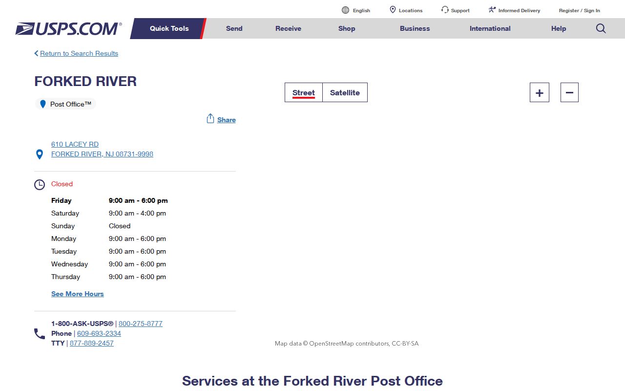
Forked River can also appear as a river, road, place name, business reference, or historical label. Pair it with a street, block and lot, date, or authoritative record source to reduce false matches. A mailing city in a historical or current address should be preserved as printed, with the legal municipality checked separately.
08734 and the Lanoka Harbor Postal Label
ZIP code 08734 is associated with Lanoka Harbor and northern or eastern Lacey labels. The USPS reference lists the Lanoka Harbor Post Office at 402 U.S. Highway 9, Lanoka Harbor, NJ 08734-9998, with telephone 609-693-2373 and weekday and Saturday service details on the live page. Those details are useful for postal verification, but an address must still be tested against the current USPS result and a parcel or tax record.
See the USPS Lanoka Harbor location record for current service information.
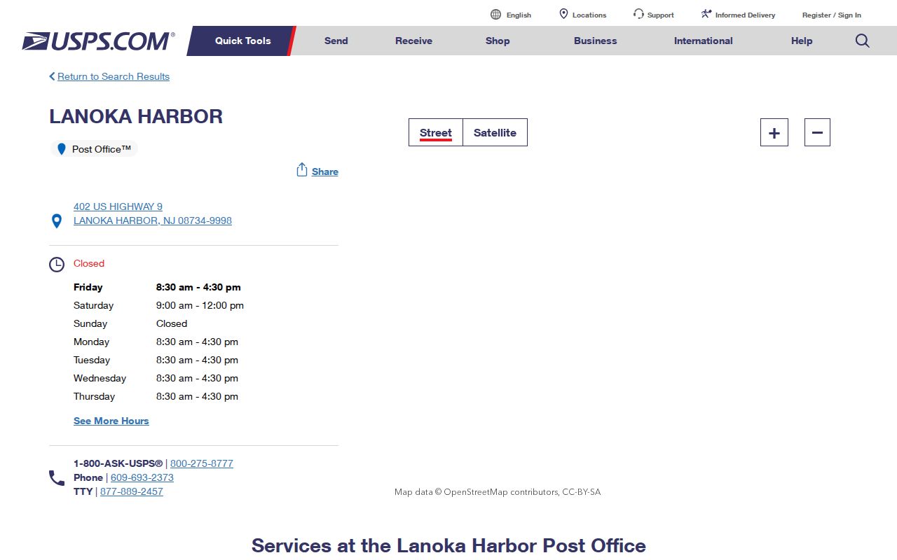
Lanoka Harbor and Forked River are useful search terms in newspapers, directory books, maps, and polling-place material. They are not interchangeable with a county municipal field. For historical research, retain the place name that the original document uses, because locality wording can change with date and source.
Why Postal City and Lacey Township Are Different
USPS is the authority for mailing format and a serving postal community. The Lacey assessor, Ocean County tax list, GIS, and NJGIN parcel data are the routes for legal municipality and property context. A parcel dataset may return CITY_STATE and ZIP_CODE beside MUN_NAME or a municipality filter; those are complementary values, not duplicates. A result can be correctly addressed with a Forked River or Lanoka Harbor postal label while its legal municipality is Lacey Township.
Postal boundary warning. Do not infer a ZIP boundary from a county map or label every nearby address as Lacey because its postal city looks familiar. Confirm the street address with USPS, then retain Ocean County and Lacey Township parcel identifiers for jurisdiction.
Postal and municipal values can diverge around a large township. Lacey covers about 84 square miles according to township history, while Census QuickFacts reports 83.25 square miles of land. Waterways, wetlands, preserved areas, and dispersed communities make it especially important to keep address, ZIP, and municipality fields together rather than drawing a conclusion from one of them.
Use a ZIP Code to Narrow an Address, Not a Person Search
The researched parcel tools are not ZIP-first resident lookups. Ocean County’s tax-list form uses Municipality, Block, Lot, Qualifier, Property Class, and Property Location. NJGIN Property Explorer uses address, county, municipality, block, and lot. Ocean County voter-request criteria can specify a municipality, party, and election history, not a ZIP-wide public roster. The correct address-verification workflow therefore starts with a specific address and moves to a legal identifier.
- Standardize the known street address with USPS and record the postal city and ZIP result.
- Query the tax or GIS route with municipality set to Lacey, then test the address and street-suffix variants.
- Preserve the block, lot, qualifier, and parcel municipality returned by the authoritative property route.
- Use the legal identifier for an instrument search or other record-specific request, keeping the retrieval date and source type.
- For a lawful election request, ask Ocean County for a date-bounded municipality extract under its OPRA and criteria process, not an undefined ZIP roster.
Once an address is narrowed, the Lacey Township street directory explains the address-to-parcel and recorded-document trail in more detail. The ZIP is a verification layer, not proof that a particular person resides at the address.
Tax and GIS Fields That Clarify a Postal Result
A postal code can accompany a parcel result, but the research supports a fuller set of property fields that should travel with it. Ocean County GIS lists 2025 parcel and MOD-IV data and separate 2015 building-footprint data; the source and layer date should be noted because they do not update on the same schedule. Statewide hosted or downloaded parcel owner names can be redacted under Daniel’s Law.
| Municipality / MUN_NAME | Select or retain Lacey Township; this is the jurisdiction check, not the postal city. |
|---|---|
| Property location / street address | Test the house number, suffix, directional, and original source spelling. |
| Block, lot, PIN, PAMS, qualifier | Legal or tax identifiers that bridge an address to county recorded documents; preserve leading zeros and unit qualifiers. |
| CITY_STATE / ZIP_CODE | Postal and geographic context; do not use either field as municipal proof. |
| Land, improvement, net value, prior-year tax | Assessment context whose data vintage should be identified. |
| Deed book, page, and date | A lead into SearchNG, not a substitute for inspecting the recorded instrument. |
Review the NJGIN parcel-data and Property Explorer information before using the statewide parcel route.
GIS can add parcels, cadastral lines, easements, rights-of-way, imagery, zoning, FEMA flood information, tax maps, wetlands, streams, parks, subdivisions, and site plans. Such layers offer physical context; they are not an official postal-boundary drawing, title image, or resident list.
Why 08732 and 08758 Need Extra Verification
The Lacey polling page identifies a Pheasant Run Clubhouse address ending in 08732. That is a specific address shown by a municipal source, not proof that 08732 is a third township-wide ZIP. The research did not independently confirm a current Lacey 08732 USPS service area, so an address with that code needs live USPS and parcel confirmation before it is described as Lacey coverage.
Code 08758 is associated with Waretown and adjacent geography. It should not be listed as a usual Lacey ZIP merely because nearby communities, roads, or historical references overlap. The 1876 Oyster Creek cession to Ocean Township/Waretown and the 1933 island cession provide historical reasons to check jurisdiction carefully, but they do not establish a modern postal realignment. No official Lacey street-renumbering, postal-realignment, or historic ZIP-boundary-change record was located.
Community Names Used With Lacey Township ZIP Codes
Bamber Lakes is a township-named major area, and related local labels include Lake Barnegat, Barnegat Pines, Good Luck, Webbs Mill, and Forked River Point or Beach. These names can help a historical or mapping search, but research did not locate a single official neighborhood-boundary map defining all of them. Search the actual street address, parcel, ZIP, and municipality rather than assigning a code from a community name.
Local polling places add useful geographic vocabulary: Forked River, Lanoka Harbor, Murray Grove, Charles A. Smith, Pheasant Run, and Recreation Department/Veterans Way. They are election administration locations, not ZIP boundaries. A polling district can move or combine addresses over time. The same care applies to a tax-map label or a map overlay: record its source and date, then distinguish the source’s geography from a USPS delivery result.
Lacey Township ZIP Code Terms
- ZIP code
- A postal routing code used with an address; it does not independently establish a municipality or a person’s residence.
- ZIP+4
- An additional postal routing suffix applied to a more specific delivery segment. It should be verified with USPS for the actual address.
- PO-box ZIP
- A code used for post-office box delivery. The research did not identify a Lacey PO-box-only ZIP to add to the coverage table.
- Unique ZIP
- A code assigned to one organization or delivery arrangement. No verified Lacey example was located in the research.
- Carrier route
- A postal delivery grouping used for mail operations; it is not a legal municipal boundary or a household roster.
A missing address deserves a methodical check: normalize the suffix and directional, preserve any unit or qualifier, test USPS, query Lacey in tax/GIS, and ask the assessor, clerk, postal service, or library to reconcile an older number when necessary. Do not infer a renumbering from a failed single-portal search.